张掖世界地质公园官方网站 (zhangyegeopark.com)
Situated in Zhangye Municipality, Gansu Province, Zhangye UNESCO Global Geopark is mainly located in the territory of Sunan Yugur Minority Autonomous County, covering an area of 1,289.71 square kilometers.
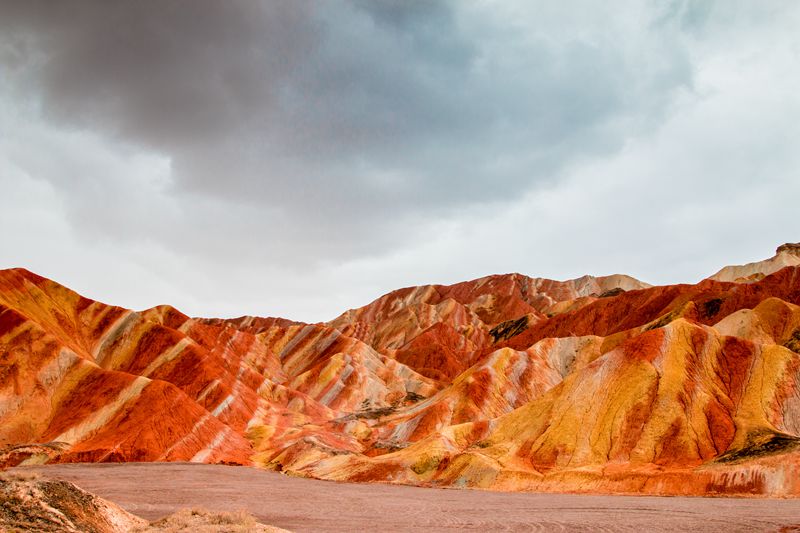
Geographically, Zhangye Geopark is just located at the boundary between Qinghai-Tibet Plateau and Inner Mongolian Plateau, middle section of the north slope of Qilian Mountains, and transitional zone from Qilian Mountains to Hexi Corridor. The Jiugequan ophiolite suite in the western Geopark is the important component of ocean floor about 500 million years ago, which honestly records the processes from ancient Qilian Sea to Qilian Mountains. The Caiqiu (colorful hills) is like a colorful scarp with varied colors, distinct shapes and large scale in the Hexi Corridor, this landscape is credited as one of world geological wonders. The Geopark is a naming site of lattice-shaped and palatial Danxia landform. The Heihe River, the second largest inland river in China, crosses the Geopark, nourished the diverse biodiversity and many minorities. The many Neo-tectonic geoheritage sites document the uplift of Qinghai-Tibet Plateau since 36 million years ago. The interrelation and interaction among the rare and graceful geoheritage, fragile and diverse ecological landscapes, and unique minority customs create a resources-rich Zhangye Geopark, which becomes a brilliant pearl on the new Silk Road. Zhangye Geopark is welcoming visitors from all over the world.
